15 Days of Dry Air End as Rain Returns to Louisville
Meteorologists forecast up to 1.5 inches of precipitation by Wednesday, breaking a two-week drought in the region.
By Jacob Reynolds ·
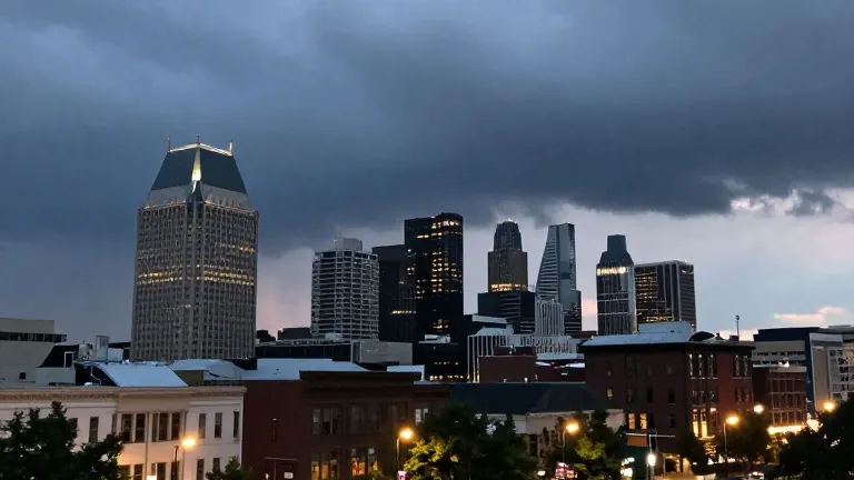
The two-week dry spell in Louisville is set to end this week as moisture returns to the region.
It has been 15 full days since the city recorded measurable rainfall. The prolonged lack of precipitation has contributed to a slowly increasing drought in the area.
Sunday offers the first opportunity for relief, though results will vary by location. Light and scattered showers are moving in from the southwest. These systems are currently battling dry air in the atmosphere, which may cause some rain to evaporate before it reaches the ground.
Western and southwestern communities, particularly those located west of I-65, have the best chance of accumulating decent amounts of rain on Sunday. The rest of the metro area may see only light accumulations by evening. The total rainfall for the day is expected to remain low.
A stronger system is expected to arrive early Wednesday morning. Tuesday, which is Election Day, will see temperatures warm to the mid or upper 70s. This warmth sets the stage for a front to push through the region later in the day.
The timing of this front creates a risk for embedded thunder and lightning. The instability from the warm Tuesday afternoon could fuel storms, though current data suggests the activity will occur mostly during the middle of the night and into early Wednesday. This timing limits the potential for severe weather.
Models currently project between 0.50 and 1.50 inches of rain across the area by Wednesday. Meteorologists will continue to monitor the timing of the front over the next few days to determine if stronger storms develop.
Source: WDRB