Rainfall Returns to Louisville Area Next Week
A 0.75-inch precipitation event is forecast west of I-65 on Sunday, followed by a 60% storm probability by Wednesday.
By Fiona Wallace ·
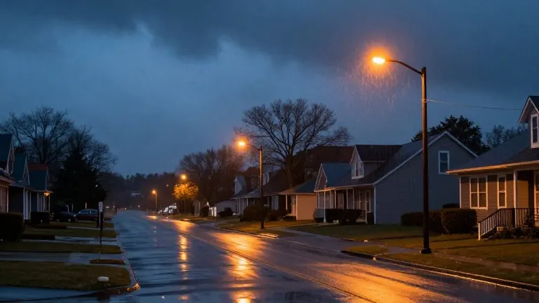
Rainfall totals could reach 0.75 inches in the western parts of the Louisville area on Sunday. This figure stands in contrast to much lower amounts expected along and east of Interstate 65. A weather disturbance moving through the region will trigger these intermittent showers.
The dry spell that has persisted through the weekend will break late Saturday night. Cloud cover increased overnight into Saturday morning, keeping temperatures in the 50s. These conditions provided a cool backdrop for Halloween celebrations, with afternoon highs capped in the lower 70s. Evening temperatures remained in the mild 50s as showers began to develop.
The shift in weather patterns sets up a cooler trend for the following week. After the Sunday rain, a stronger system approaches by midweek. Wednesday carries a 60 percent chance of rain and thunderstorms. This event will bring colder temperatures to the area.
By next Friday, the high temperature will peak in the lower 60s. This marks a clear departure from the current mild conditions. The forecast indicates that the region will transition from dry and cloudy skies to a wetter and cooler period over the next seven days.
Meteorologists note that the Sunday disturbance is the first of two major rain events. The first event, occurring Sunday, will produce variable rainfall with heavier totals to the west. The second, arriving Wednesday, offers a higher probability of precipitation and thunderstorm activity.
Source: WDRB